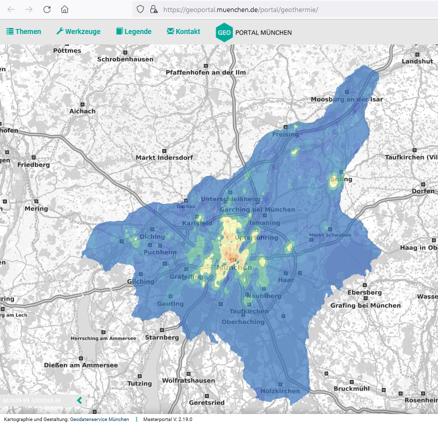
The GeoPortal provides basic spatial information such as an official city map, addresses and aerial photographs, or the "Potential of near-surface geothermal energy."
Almost all application scenarios of a smart city, from digital city maps to intelligent traffic control, are based on the central availability of geoinformation and corresponding interfaces through which this data can be integrated into digital services. The GeoPortal Munich makes precisely this geoinformation and services available to users from business, science and administration - and not least the citizens themselves - in a user-friendly way: quickly, reliably and digitally.
GeoPortal supports numerous online services of the state capital with basic spatial information such as an official city map, addresses and aerial images. Specialist topics from the city departments can build on this. This enables a wide range of thematic content to be made available, and connections can be seen quickly and at a glance. The GeoPortal is the geodata infrastructure on which the Digital Twin Munich is based.
Architecture
Most of the components are based on free software and are themselves provided as free software by active and internationally recognized communities in the geodata sector.
- The Masterportal, a toolkit based on OpenLayers, Vue.js and Backbone.js, a project of Geowerkstatt Hamburg.
- The central server components are provided by the Open Source Geospatial Foundation:
- The map service software Geoserver with the OGC compliant web services.
- The metadata catalog GeoNetwork with also OGC compliant web services with harvesting to and from other metadata catalogs.
- Fraunhofer IOSB's FROST server for sensor data is an implementation of the SensorThings standard of the Open Geospatial Consortium (OGC).
- The free database PostgreSQL has become a standard, the GeoPortal also uses PostgreSQL and the extension PostGIS, which was developed especially for geodata.
- ElasticSearch as a search engine.
- With Node-RED we convert different types of data (for example sensor data) into the standard
Improve
We also contribute to the master portal:
- by being an active member of the Implementation Partnership and contributing €10,000/year (net) to the Development Fund.
- we are developing the GDI Geoportal Gateway, a gateway to publish individual specialized portals of the master portal.